Our Solutions
Welcome to the heart of innovation, where geographical challenges meet tailored solutions. Our Geospatial Solutions section is a gateway to a realm where cutting-edge technology converges with the intricate tapestry of geography, redefining the way we navigate, understand, and interact with our world.
In a landscape shaped by data and driven by insight, our geospatial solutions stand as beacons of precision, offering a transformative approach to address the complex spatial challenges of businesses, governments, and individuals alike. Each solution encapsulates the essence of innovation, seamlessly weaving together advanced technologies to deliver unparalleled results.
Explore this curated space where the power of geospatial intelligence unfolds. From revolutionizing data mapping to providing real-time insights, our solutions are meticulously crafted to empower decision-makers, streamline processes, and foster a more connected and sustainable future.

Business
ANCORA embraces every industry including Banking, Insurance, Logistics and Media. We provide consultancy on project planning, evaluation, monitoring and economic analysis, techno-economic feasibility studies, Global market research, collaborations and transformations, corporate planning and formulating business plan management, operations & management, financial restructuring and turnaround management, policy framing. Our dedicated solutions with efficient use of geospatial technologies enhance operational excellence and profitability of the every business.
Natural Resources
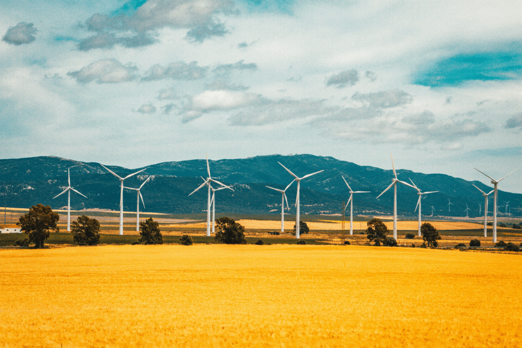
ANCORA delivers geospatial technology solutions in natural resources management including Agriculture, Forestry, Mining and Explorations, Oil and Gas and Renewable energy. Our technology solution bridges the gap between public and the technology and adds geospatial awareness and intelligence to everyone’s routine job. In addition, for precision agriculture, landscape visualization, sustainable forest management, Digital terrain modelling, Oil & gas exploration, Hydrological modelling and Site suitability analysis, we are there for you.

Government
National, State and local Governments trust our geospatial technology solutions to establish and regulate their policies and to strengthen the citizen’s welfare. We grips every department in the administration, from operational solutions through quick and easy decision support systems, policemen, fire-fighters and the leading officers use our dedicated solutions in emergency response in the areas of detection, risk assessment, mitigation and prevention, preparedness, response and recovery. Our effective health care system and services works in epidemiological and public health monitoring

Environmental Conservation
ANCORA provides geospatial technological solutions & services worldwide in ecology labs, parks, planning & management agencies and non-profit organisations to promote sustainable growth. Many of our clients working in watershed development uses our geospatial solutions for wetland, water quality mapping, streamline alignment, channel characteristics, seasonal flow and mapping of natural features in the existing habitat. We also focussed on landscape; marine GIS including coastal information, deep water phenomena covering current, temperature, salinity, bio and ecological mass; wildlife conservation including habitat, vegetation, species, mapping and management.
Utility
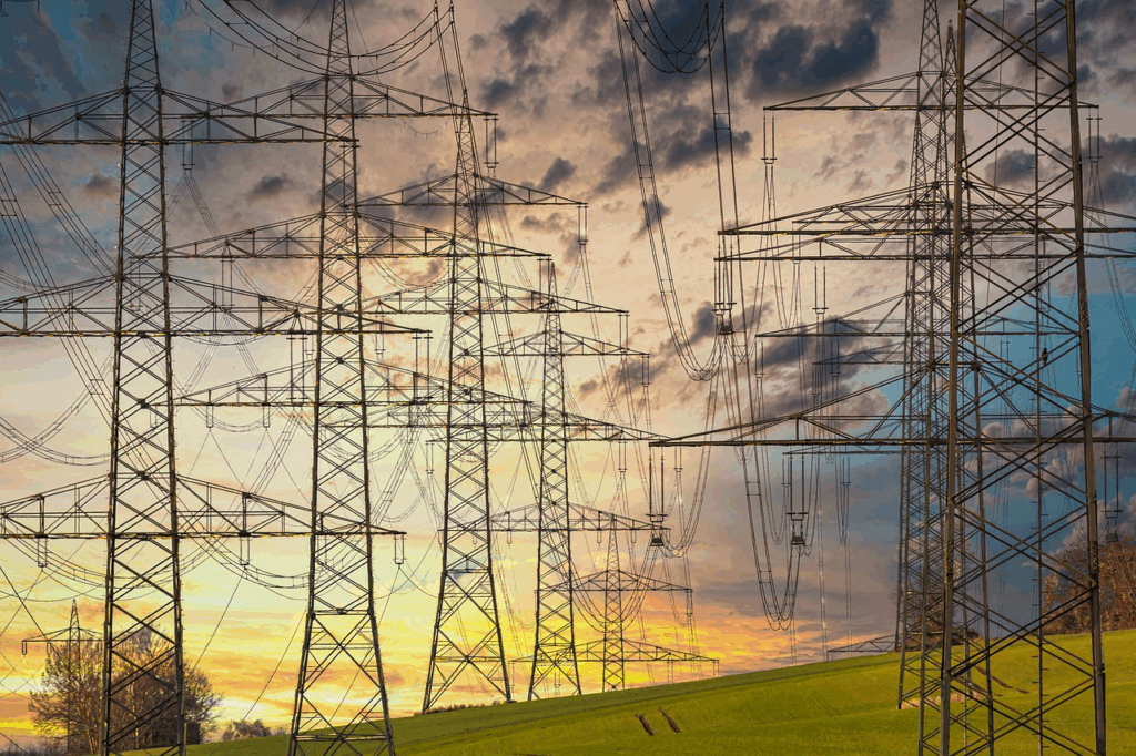
Geospatial technology becomes a powerful tool in the Utility sector for Power, electricity, gas, telecommunication and water and waste water management. From network design to outage management, utility data management contains more than 80 percent of spatial components in it. Utility and telecommunication businesses use Ancora’s GIS consultancy and services for outage management, emergency response, gas distribution, analyzing relationships among signal coverage, revenues, customer inquiries and gap analysis.

Science & Education
Ancora embraces research and development, libraries and museums, schools, colleges & universities. We help students and researchers of all streams to use geospatial tools to implement various projects. This makes it easier for them to store, analyse and query data. We take major initiative to provide academic & vocation trainings for everyone.